


Student Work


1∕6
Title
Main to (E) Main
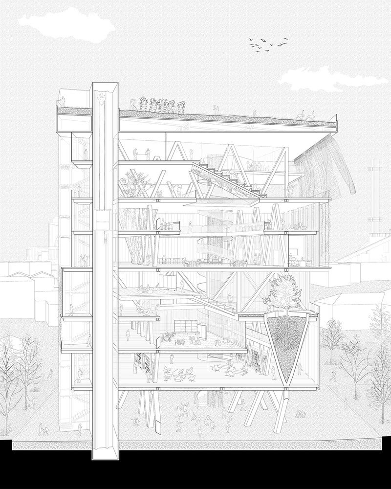
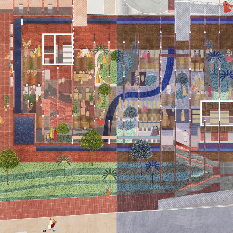
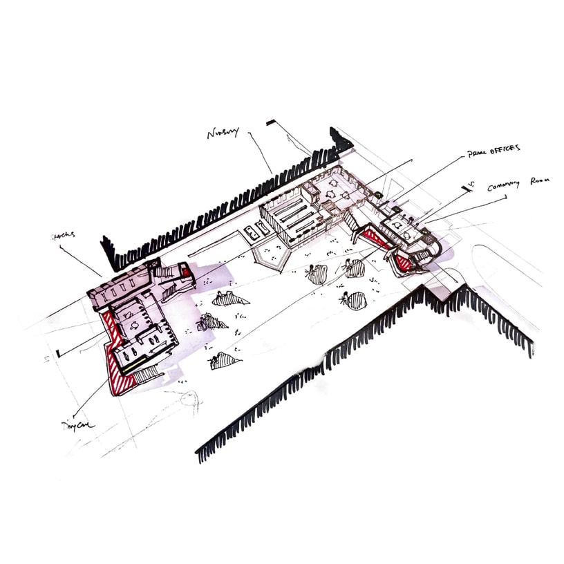
Project Description
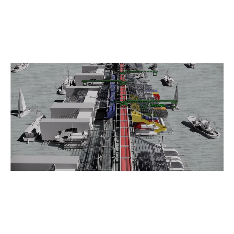
Bridgeport is distinguished by the severe cuts made in its urban fabric by not only heavy infrastructural systems such as the highways and railroad, but also its historic riverfront. The downtown of Bridgeport is particularly isolated by I-95, CT-8, the commuter rail line, and the Pequonnock River, but is poised to capitalize on both its existing intermodal connectivity and its riverfront accessibility. Across the river, the East End currently hosts an underserved and underdeveloped waterfront site that serves as the optimal location for an eastward expansion of Bridgeport’s downtown once the limited space to the north is developed. By re-centering on the river, the downtown can rediscover its historic orientation while providing the city with a resource that was once seen as a barrier. Both sides of the Pequonnock River will provide public access to the water and will also serve the city as a resiliency measure for sea level rise and storm surge by providing an active soft landscape of water retention and remediation. Civic and public anchors such as recreational facilities, a new central library, and public market continue pedestrian axes that bridge existing governmental or thriving downtown communities from Main Street across the Pequonnock River to the East End’s own vibrant East Main Street. These cross grain connections feed into a large city-wide network of existing and proposed multimodal networks to spur the development of a greater downtown Bridgeport.